|
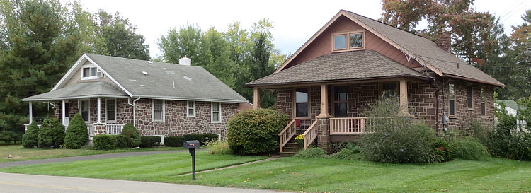
Upper Gwynedd lies along the southern edge of,
and just within, the extensive but simple and monotonous
formation called by geologists the Mesozoic, or Red Sandstone,
belt. This belt varies from 10 to 30 miles wide and is over
500 miles long. It is the bed of a great river which ran from
North Carolina to above New York City, and which has been
compressed by geological forces over millions of years into
stone.
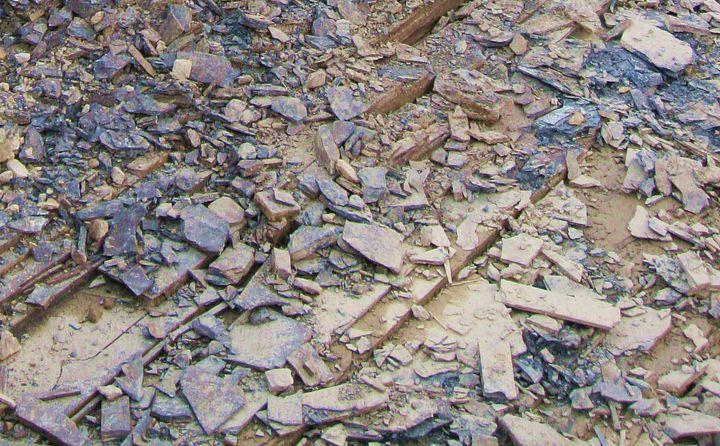
This bedrock belt is composed of Triassic and
Jurassic Age sandstone, siltstone and
shale deposited over 260 million years ago in a rift
basin. There are two main formations in Upper Gwynedd, the
Lockatong Formation and the Brunswick Group. The
Lockatong Formation consists of a hard, dark colored and fine
grain shale, while the Brunswick Group is made of a soft red
shale interbedded with sandstone and siltstone.
The two formations interfinger with each other
at various places, one of the locations being directly under West
Point.
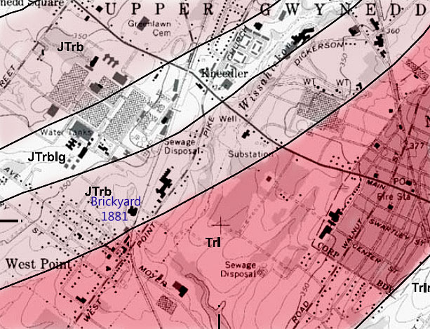
This map, from a 1983 US Geological Survey,
shows the boundary between the Brunswick Group and the
Lockatong Formation going through West Point at 2nd
Street. (line going through the word "Point" at lower left)
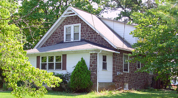
Below the line is the hard Lockatong Formation, above it is
the softer Brunswick Group. Beginning in 1881, the
West Point brick yard quarried the shale in the Brunswick
Group, until it closed in 1923.
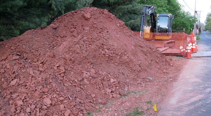
"The underlying rocks of the township are mostly
red or reddish and range from sandstone to shale. No region
can be more barren of general geological interest." -
Historical Collections Relating to Gwynedd by Howard
M. Jenkins.
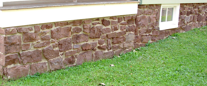
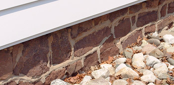
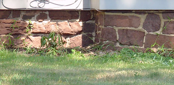
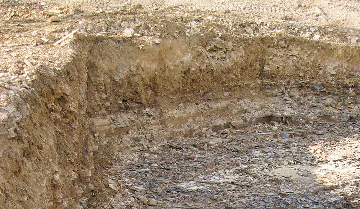
What does this mean for West Point? If you dig a
hole deep enough here you'll find shale! A plentiful supply of
building material for.... |